San Andreas Fault Road Trip
By NK Goddard
FREE ROADTRIP GUIDE
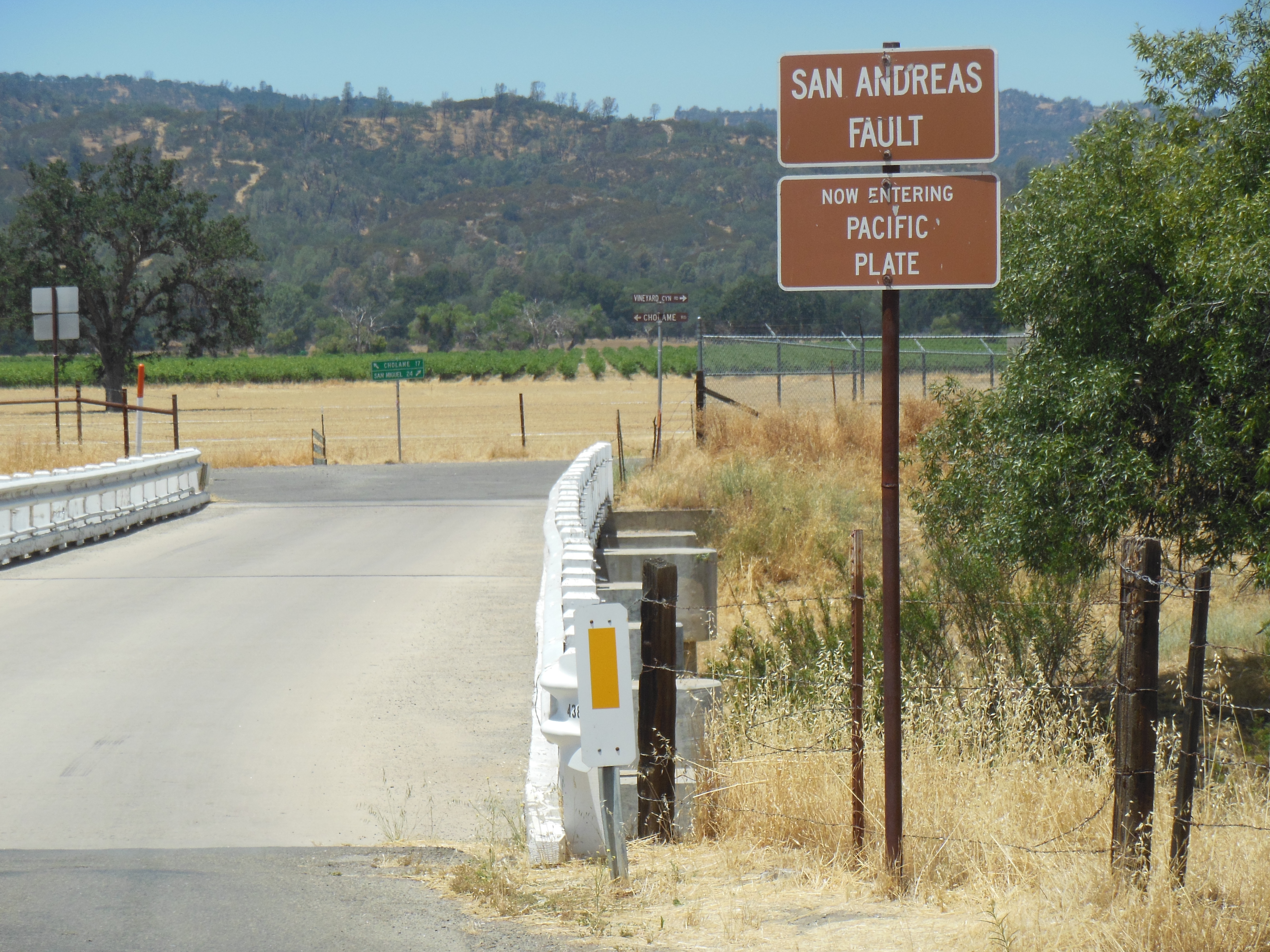
The research I did for  San Andreas Calling was intense. In addition to the usual research on earthquakes, geology, and magnetism in academic articles and scientific journals, my husband and I took many trips to the Southern Section of the actual fault itself. We studied maps, consulted, and used the US Geological Survey maps, hiked trails, taking notes and photos all along the way. Sometimes we walked right on top of the fault, sometimes along-side it, or if we couldn’t do that, we took even more photos, made pages of notes, and marked up maps. Despite safety codes, we still found many structures and highways built right on top of the fault or dangerously close by.
The more I investigated, the more concern I felt. People didn’t seem to take the dangers of the San Andreas fault’s upcoming earthquake seriously despite official warnings and advice on how to prepare.
Dear readers, this fault is real. Our road trips along the fault were awe inspiring and sobering. This is a huge force of nature. I wished then that others could experience this, too. If not in person, then through photos and commentary.
Now you can.
Chapter One of the brand new “The San Andreas Fault ROADTRIP GUIDE” will be a free download.
Just sign up for the Mailing List and I’ll let you know when it becomes available.
In the meantime, welcome! You can send me any comments or ideas through the comment section as you sign up for the mailing list. I look forward to hearing from you.
Best wishes for the new year!
NK Goddard
Parkfield Deforming Bridge Plates Sign
Photo courtesy CISN California Integrated Seismic Network
| |
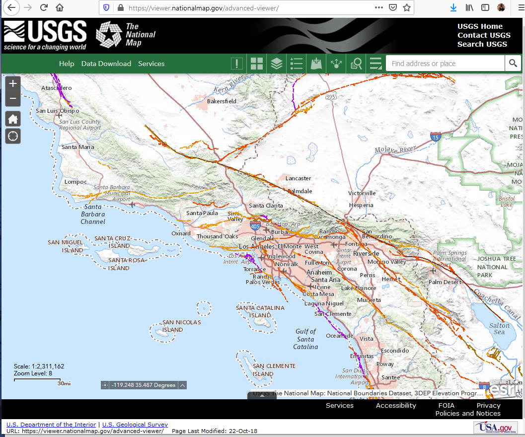
Photo courtesy of USGS
Science for a Changing World, The National Map, US Geology Survey
| |